Serranías Loop (AKA El Camino Jojoy)
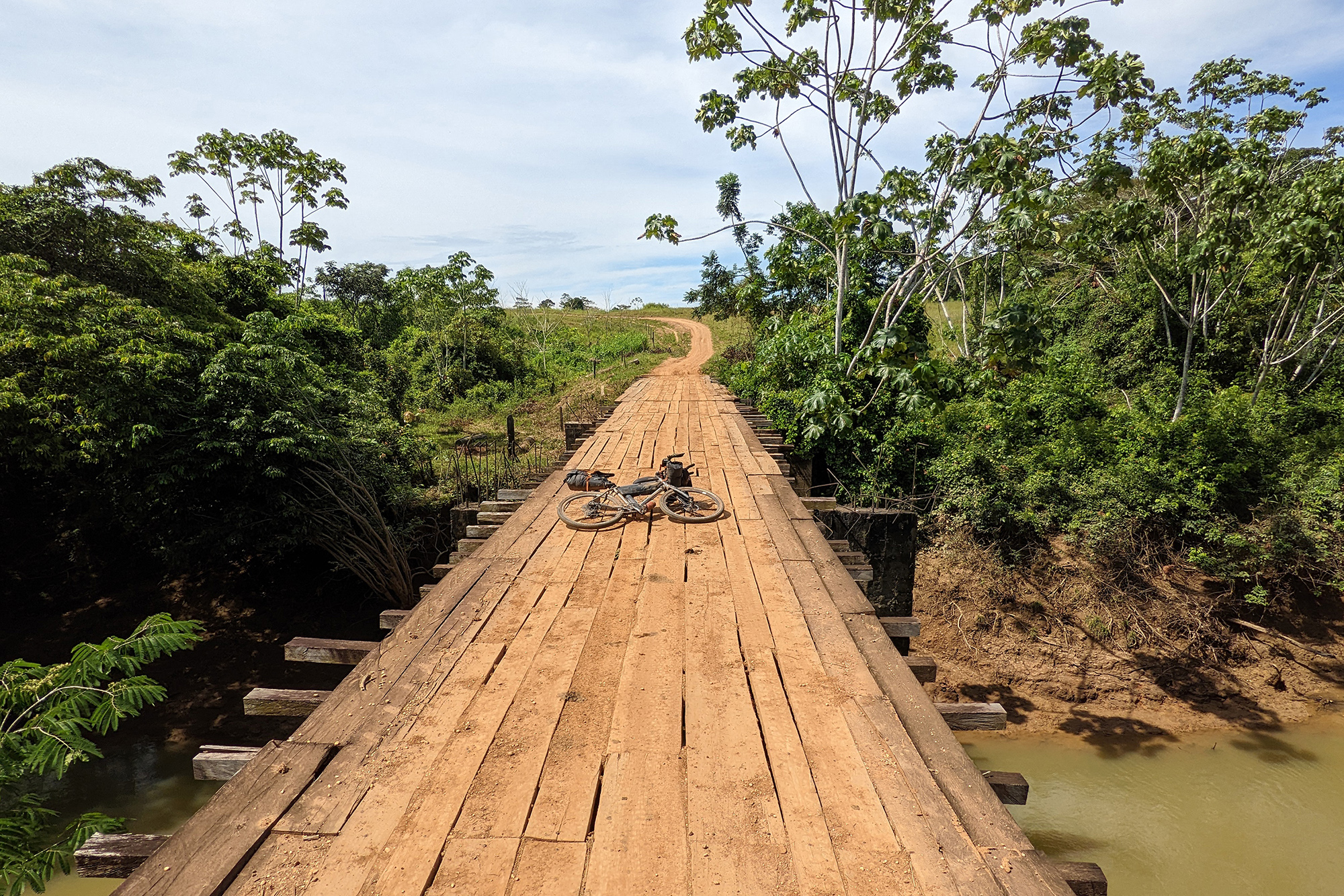
I rode this route in late 2022, after dreaming about it for almost two decades, and wrote an article about the trip for Deriva, a Colombian gravel cycling magazine. It’s a 600km loop, the middle of which follows an old cattle trail through the jungle, plains and scrubland of eastern Colombia, and up into the Serranía de La Macarena hills. The trail was widened and turned into a gravel road by the FARC guerrilla group in the early 2000s, and achieved infamy when the right-wing press realised it was there and started a campaign to demonise its very existence. Beyond any military significance, the road was a lifeline for the local inhabitants; for the first time in their history, they were able to transport cattle and other produce to market on trucks, rather than having to walk them hundreds of kilometres, and it became much easier (and cheaper) to bring supplies in too.
The first 60km from San Martín to Vistahermosa are paved, and you soon leave the busy main road from Villavicencio to San Jose del Guaviare and turn onto a much quieter b-road with amazing views of the distant hills of the Serranía, rising up out of the jungle. Just outside Vistahermosa the pavement ends, and a gorgeous 300km gravel road begins that takes you into the Serranía de La Macarena National Park, past the Caño Canoas falls, across the world-famous Caño Cristales river, through the village of La Macarena, and on to Cerro Azul and the ancient rock paintings of Serranía de La Lindosa.
The road surface is mostly iron-rich red dirt (and mud after it rains), with a few rocky singletrack segments through tropical dry forests. The views from each small rise are amazing, and the dawns and sunsets across the plains are breathtaking. The two main highlights of this route are Caño Cristales (a river full of an aquatic plant unique to this small geographical area, that changes colour according to the amount of light it receives, giving the water an incredible multicoloured appearance) and Cerro Azul (a rocky outcrop covered with ancient rock paintings dating back over 12,000 years).
If you do this route, you should be aware that at the time of writing the area is controlled by dissident FARC guerrilla groups. Although this might sound scary, in five trips to the region (one by bike) I’ve not had a single problem, and have felt as, if not more, safe here as anywhere else in Colombia.
There are no major climbs on the route; the main challenges are the intense sun and heat (30-40° C during the day with very little shade), and the long distances between resupply points. It’s important to plan carefully to ensure that you don’t risk becoming dehydrated (like I did 🤦🏻♂️), and also to ensure that you spend each night in a village or with permission on someone’s land (night riding and wild camping are prohibited by the local authorities).
