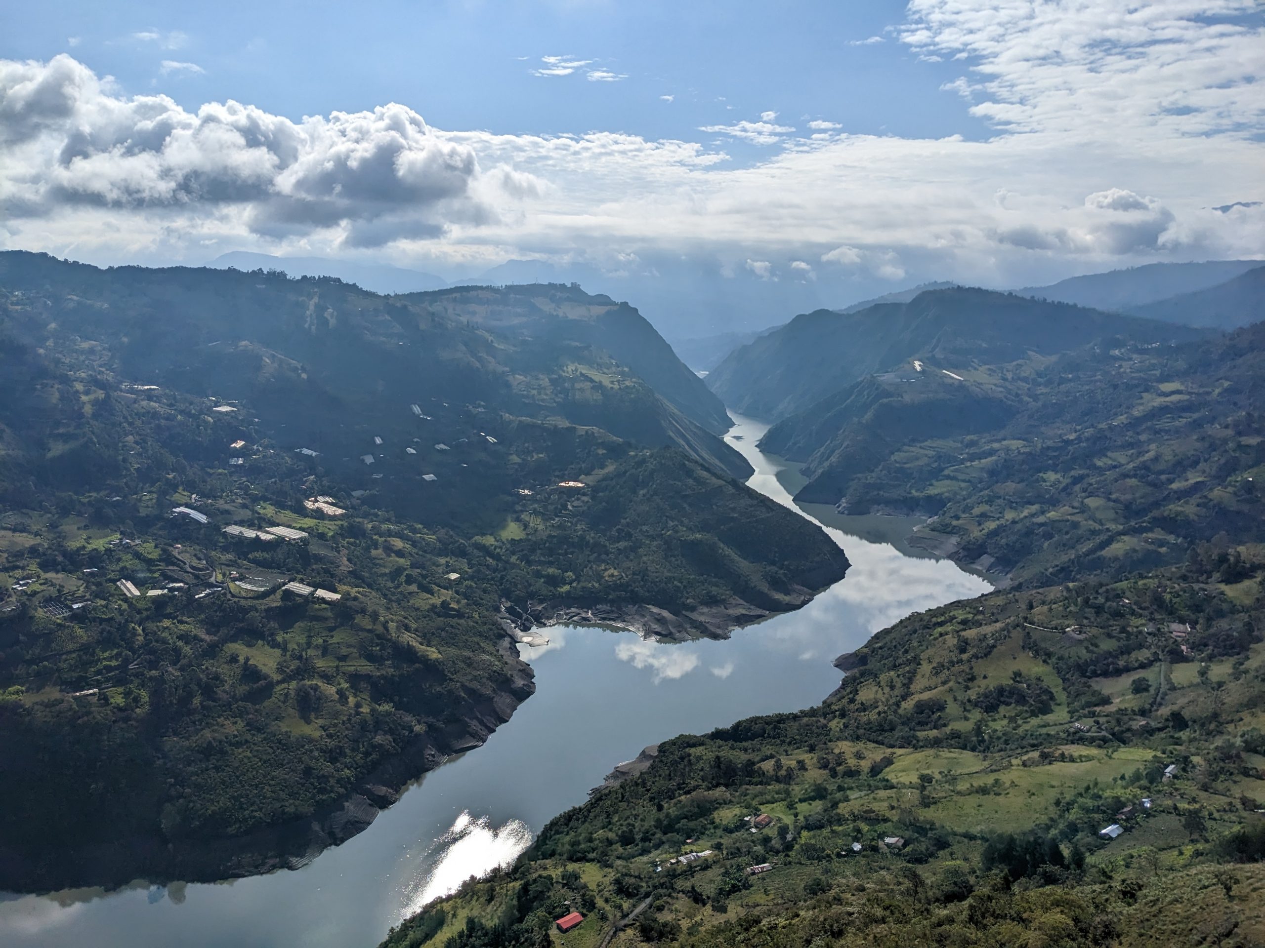
El Guavio
This picturesque route takes you out of Bogotá along the paved road to Guasca, before turning off onto the dirt for the challenging and stunning climb up to Monquentiva and the Pantano de Martus, a huge 700ha area of high mountain swampland that was originally an ancient lake, before it was drained in the 19th Century by a Dutchman looking for gold (it’s close to la Laguna de Guatavita, another lake that a number of groups tried unsuccessfully to drain in search of El Dorado). Although it’s sad to think how incredibly beautiful this huge lake must once have been, it’s still stunning today in a different way. You can feel the presence of the ancient waters, even if you can’t see them any more, and the views are breathtaking. Once you leave Monquentiva, a long gravel descent takes you down to the Rio Gachetá, and then a paved road takes you up the steep climb to Gama.
Just before Gama, the Guavio reservoir starts to come into view. This huge body of water was created by damming the end of a valley and letting the surrounding valleys fill with water, and for the next 100km or so of mixed dirt and paved roads you rise and fall as you climb and descend the sides of a multitude of flooded valleys. There are four rustic unlined tunnels that were blasted out of solid rock along the route; they’re lit, but only just, paved, but only just, there’s water constantly falling from the rocky ceilings, and all the tunnels are either steep climbs or descents.
At the bottom end of the loop, you ride across the dam wall (and can stop for photos if you’re quick – after a couple of minutes we were told to move along by an officious soldier who was guarding the dam). And the road back along the other side of the reservoir has some amazing views too, plus a couple of hardcore climbs.
There are shops and restaurants along most of the route, but few hostels, except in the four towns around the reservoir. On the way back, it’s worth spending the night in one of the many roadside hostels near River Gachetá, before tackling the 32km 6% average gradient paved climb up to Alto de La Cuchilla. From there, it’s 11km downhill to Guasca, and then a rolling gravel road takes you back into Bogotá.
I first did this route in 3 days with a group of friends and it involved riding all day, every day. The scenery is gorgeous and we had a blast! But I’d recommend doing it in 6 days and stopping more along the way.
